Best Hikes Near Harrisonburg VA: A Trail Guide for Every Level
One of the biggest reasons people fall in love with Harrisonburg is what is just outside their front door. Nestled between the Blue Ridge Mountains to the east and the Allegheny Mountains to the west, Harrisonburg sits at the center of some of the best hiking in Virginia.
As a real estate agent on The Valley Homes Team, I hear this all the time from buyers relocating to the Shenandoah Valley. The good news is that in Harrisonburg, close to the outdoors means five minutes in almost any direction.
Why Harrisonburg Is a Hiking Hub
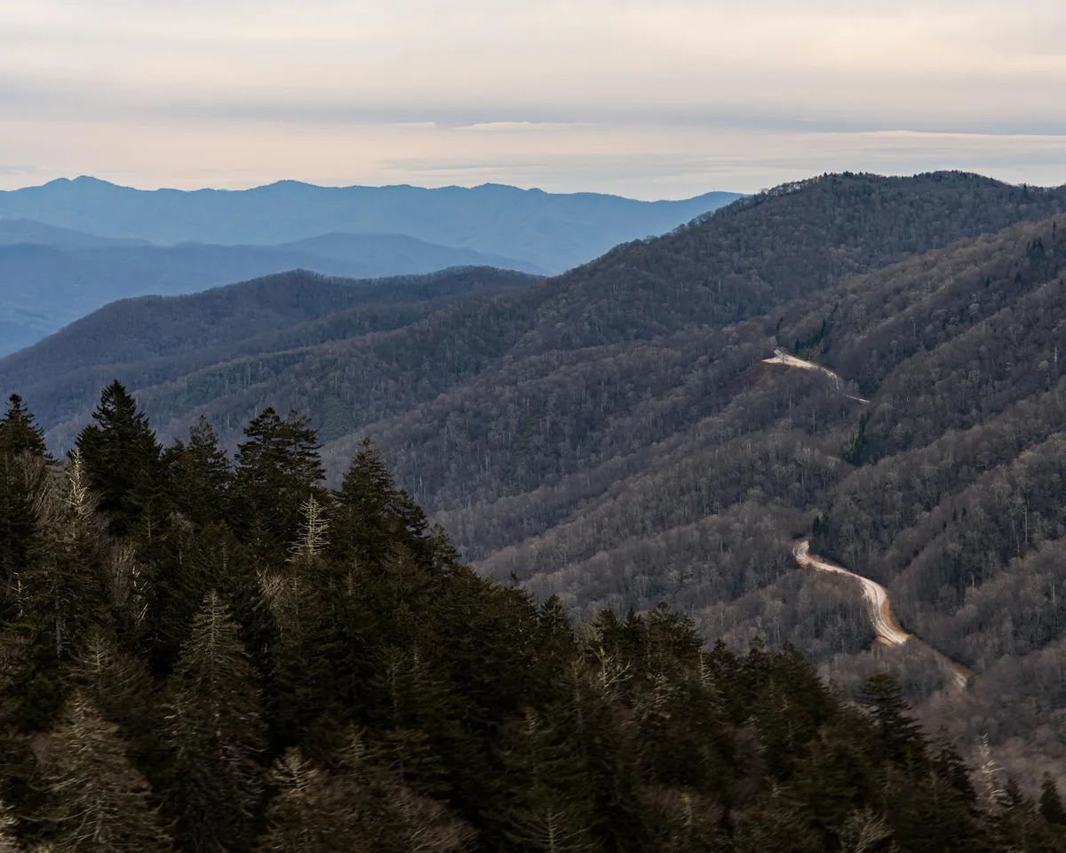
The city sits between two major public land systems. To the west, the George Washington National Forest covers over a million acres. To the east, Shenandoah National Park and the Blue Ridge Parkway, with Swift Run Gap just 30 minutes from downtown. Add in the Massanutten Range running through the middle of the valley, and you have trails in every direction.
Easy Hikes: Perfect for Families and Beginners
Lake Shenandoah Loop
Distance: 1.5 miles | Difficulty: Easy | Drive: 5 minutes A 36-acre public lake with a crushed gravel loop trail. Herons, turtles, and occasional bald eagles. Mostly flat and stroller-friendly. Daily access permit of four dollars required for visitors 17 and older.
Friendly City Trail
Distance: 2 miles | Difficulty: Easy | Location: In town A two-mile greenway connecting Hillandale and Westover Parks. Great for walking, running, or biking.
Wildwood Park Trail
Distance: 0.3 miles | Difficulty: Easy | Drive: 15 minutes (Bridgewater) Short loop trail along the North River with picnic tables and a play area.
Moderate Hikes: A Little More Adventure
Kaylors Knob Trail
Distance: 3.6 miles | Difficulty: Easy to Moderate | Drive: 20 minutes Sweeping views of the Shenandoah Valley and the Blue Ridge Mountains. Steady but manageable elevation gain.
Todd Lake and Trimble Mountain Loop
Distance: 4 miles | Difficulty: Moderate | Drive: 30 minutes A small mountain lake with a campground and yellow-blazed loop trail. Excellent views of Reddish Knob and Shenandoah Mountain.
Fourth Mountain Overlook (Massanutten Trail)
Distance: Varies | Difficulty: Moderate | Drive: 20 minutes Scenic views looking back toward Harrisonburg and the valley floor.
Dark Hollow Falls (Shenandoah National Park)
Distance: 1.4 miles round trip | Difficulty: Moderate | Drive: 40 minutes One of the closest waterfalls to Skyline Drive. A beautiful 70-foot cascading waterfall.
South River Falls (Shenandoah National Park)
Distance: 4.4 miles round trip | Difficulty: Moderate | Drive: 35 minutes At 83 feet, the third-highest waterfall in Shenandoah National Park. Quieter than Dark Hollow Falls.
Challenging Hikes: For the Adventurous
Reddish Knob
Distance: Up to 9 miles | Elevation: 4,397 feet | Drive: 45 minutes The highest point you can drive to in the George Washington National Forest. Unparalleled 360-degree panorama.
Bearfence Mountain (Shenandoah National Park)
Distance: 1.5 miles | Difficulty: Challenging (rock scramble) | Drive: 40 minutes Scrambling over jagged rocks and boulders to stunning 360-degree views. No pets allowed. Mile 56.4 on Skyline Drive.
Hone Quarry and the Waterfalls
Distance: Varies | Difficulty: Moderate to Challenging | Drive: 30 minutes Sandstone cliffs, a glittering reservoir, and a 15-foot waterfall with a swimming hole at the base.
North River Gorge Trail
Distance: 4.5 miles one way | Difficulty: Challenging | Drive: 35 minutes Follows the North River with eight river crossings. Best in late summer or early fall when water levels are lower.
A Note for People Moving to the Shenandoah Valley
Many of these hikes are 30 minutes or less from downtown. When ready to explore the housing market, The Valley Homes Team would love to help. Check out our cost-to-buy guide.
Hit the Trail
From Lake Shenandoah to Bearfence Mountain to Reddish Knob, the options are nearly endless. Check out The Best Coffee Shops in Harrisonburg and The Best Restaurants in Harrisonburg VA.